 |
 |
 |
 |
 |
 |
 |
 |
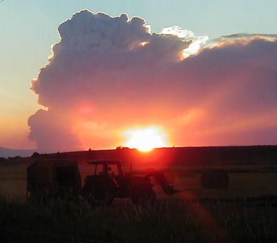 |
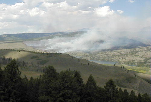
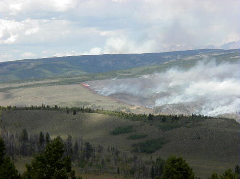
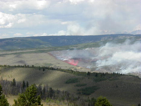
Pinedale Online Fire Update
www.pinedaleonline.com, Pinedale,
Wyoming
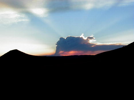
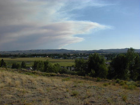
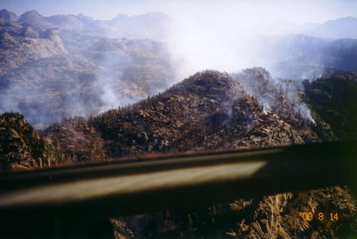
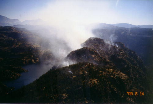
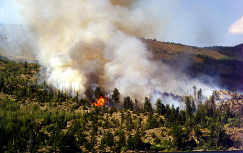
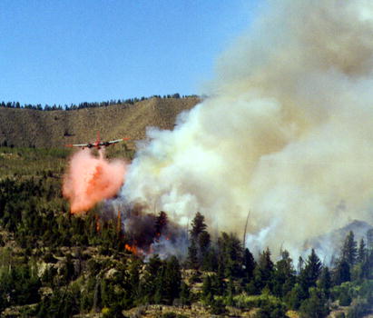
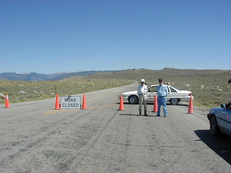
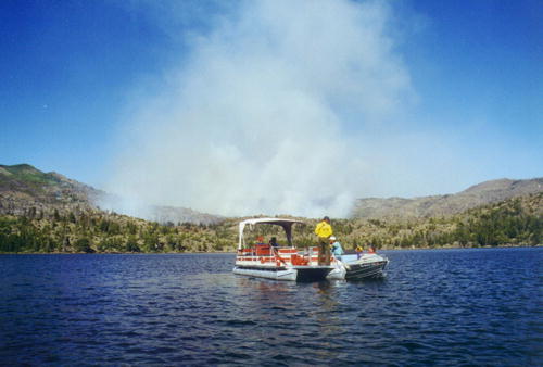
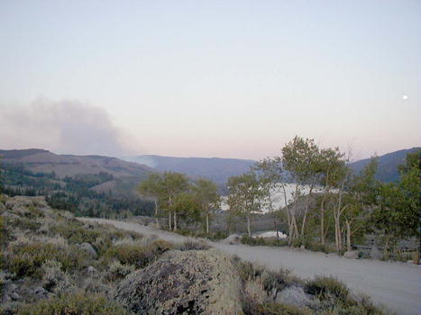
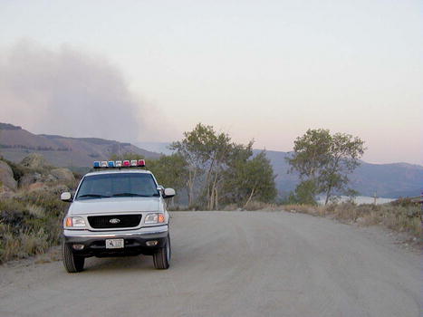
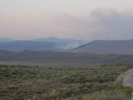
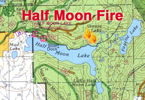
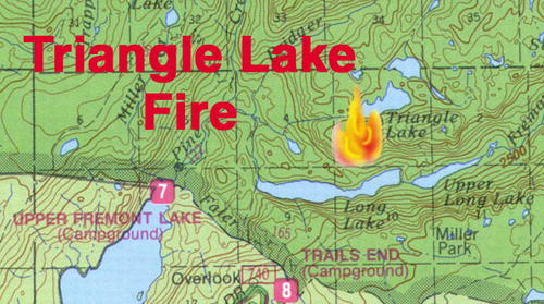
Half Moon & Triangle Lake Fire Pictures
Information provided by the Pinedale Ranger District,
USFS
|
|
|
|
|
|
|
|
|
|
|
|
 |
 |
 |
 |
 |
 |
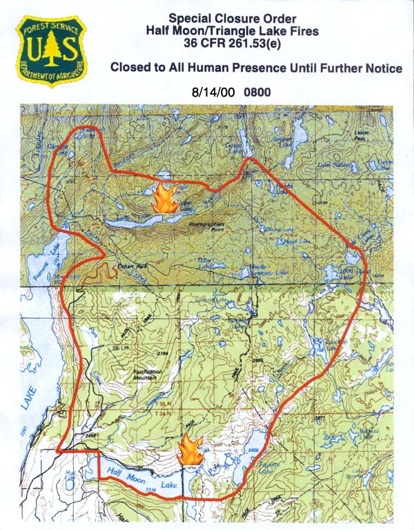
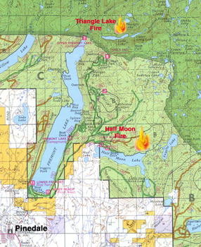
| Closure
Map - Revised 8/14/00 at 0800
Fire Location Graphics:
Earlier fire updates:
|
|
Pinedale Online front page |