Brochures
and Maps Printable PDF format requires Adobe Acrobat Reader to view |
Sublette
County Campgrounds |
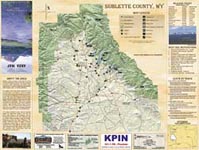
Sublette
County Map |
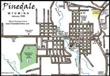
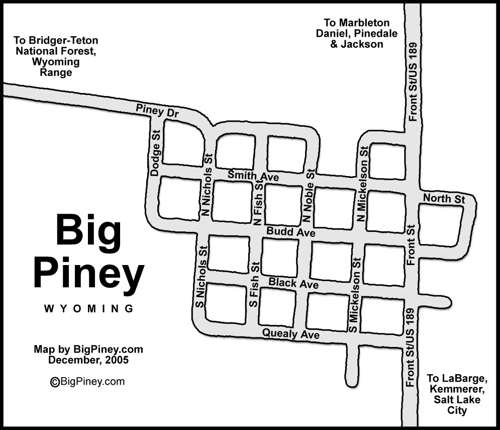
Pinedale
Town Map |
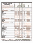
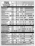
Sublette
County Motels, Cabins |
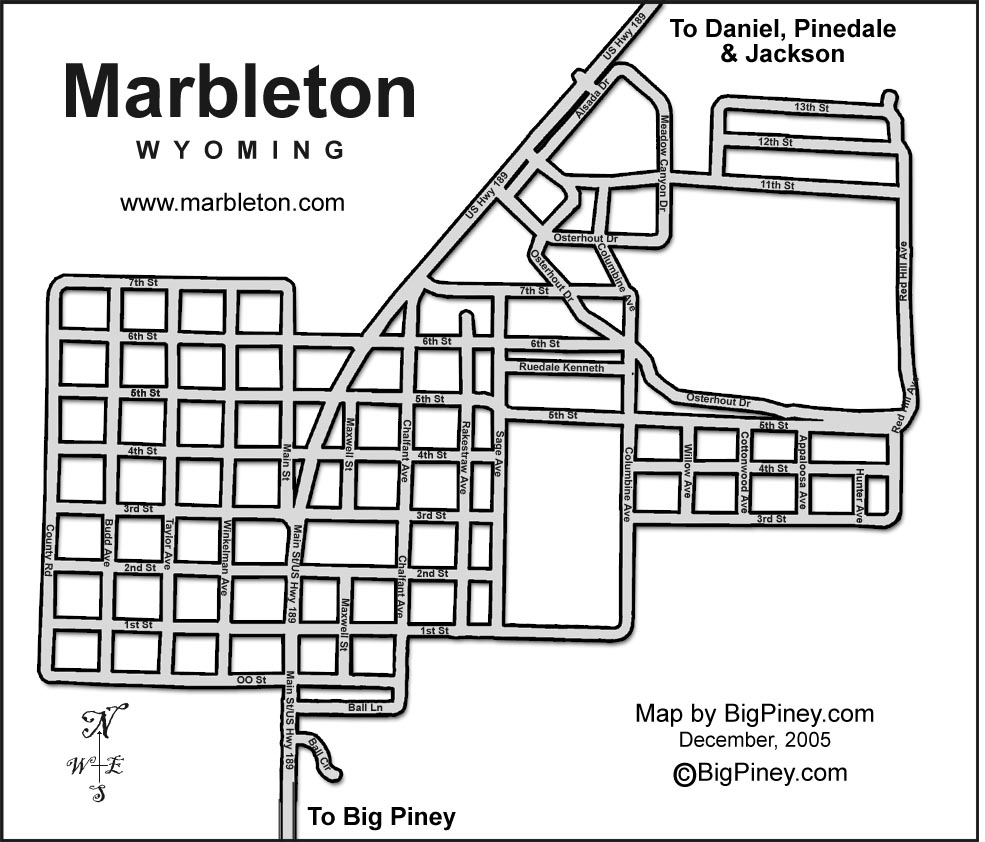
Pinedale
Street Map |
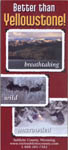
Sublette
County Visitor Brochure |
Sublette
County River Access |
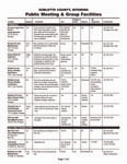
Public
Meeting Facilities |
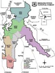
Bridger-Teton
National Forest District Map (northern half of Forest) |
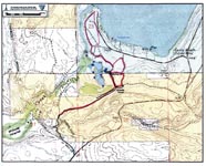
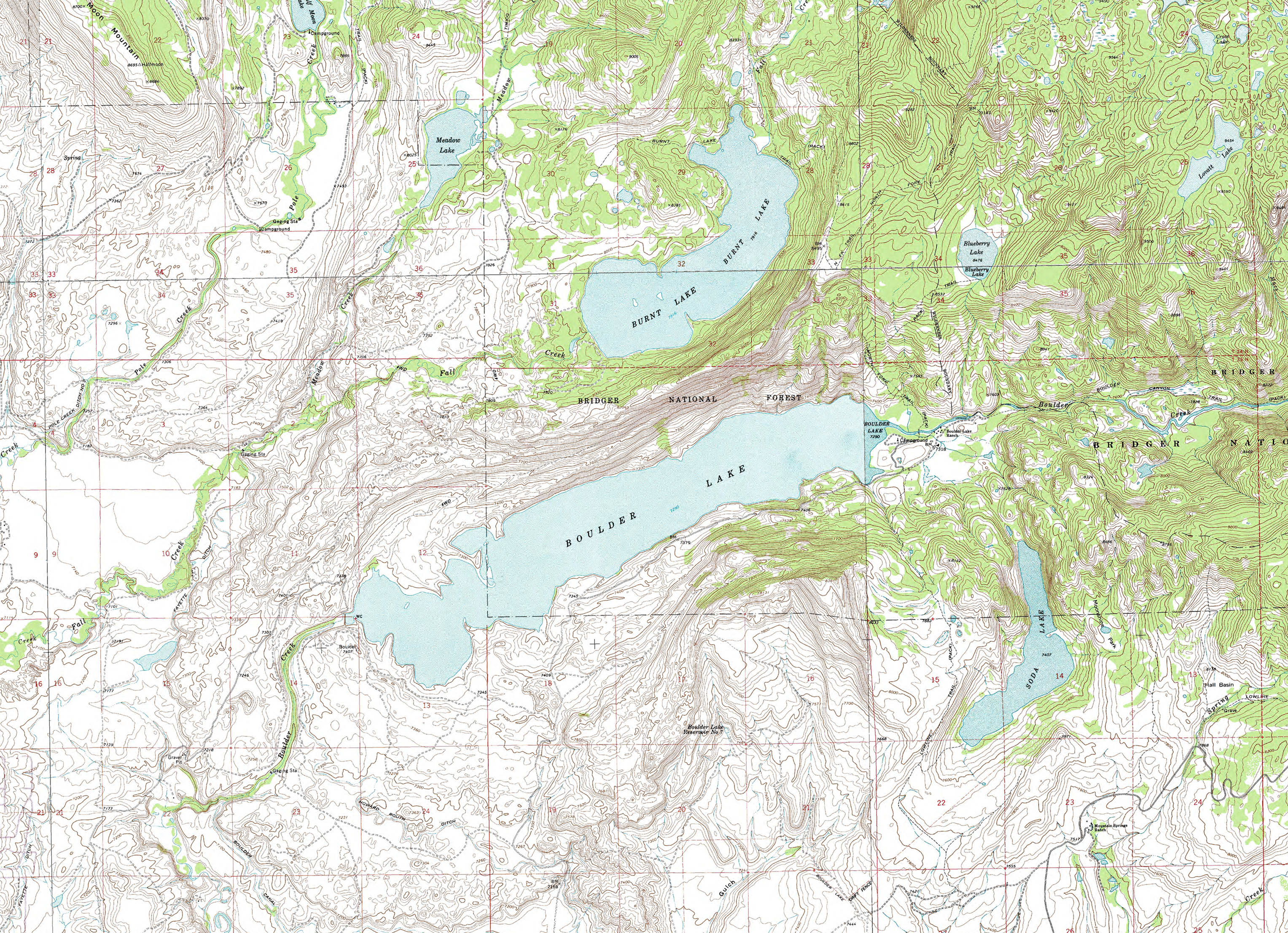
CCC
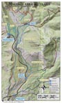
Ponds-Fremont Lake X-C Ski Trail Map |
Kelly
Park-White Pine X-C Ski Trail Map |
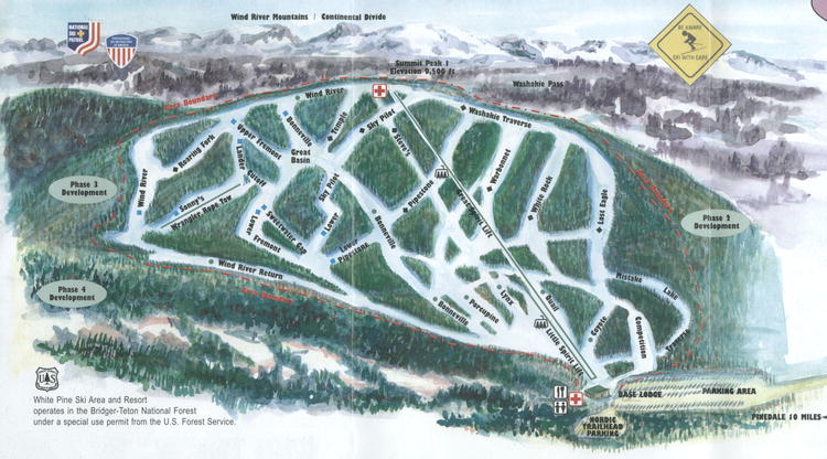
White
Pine Ski Area Trail Map |
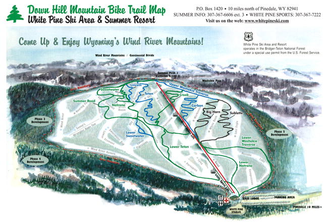
White
Pine Resort Summer Mountain Biking Trail Map |
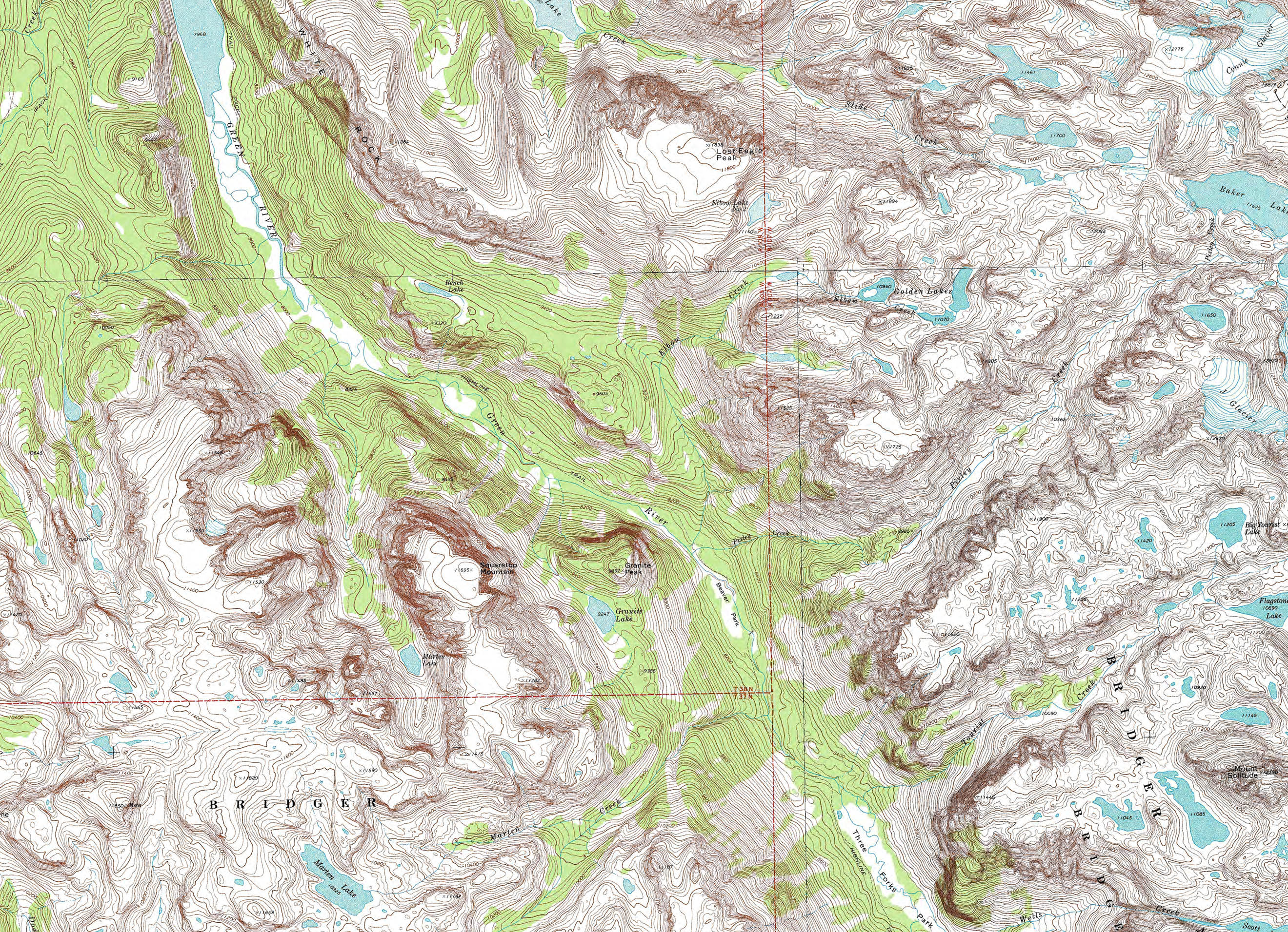
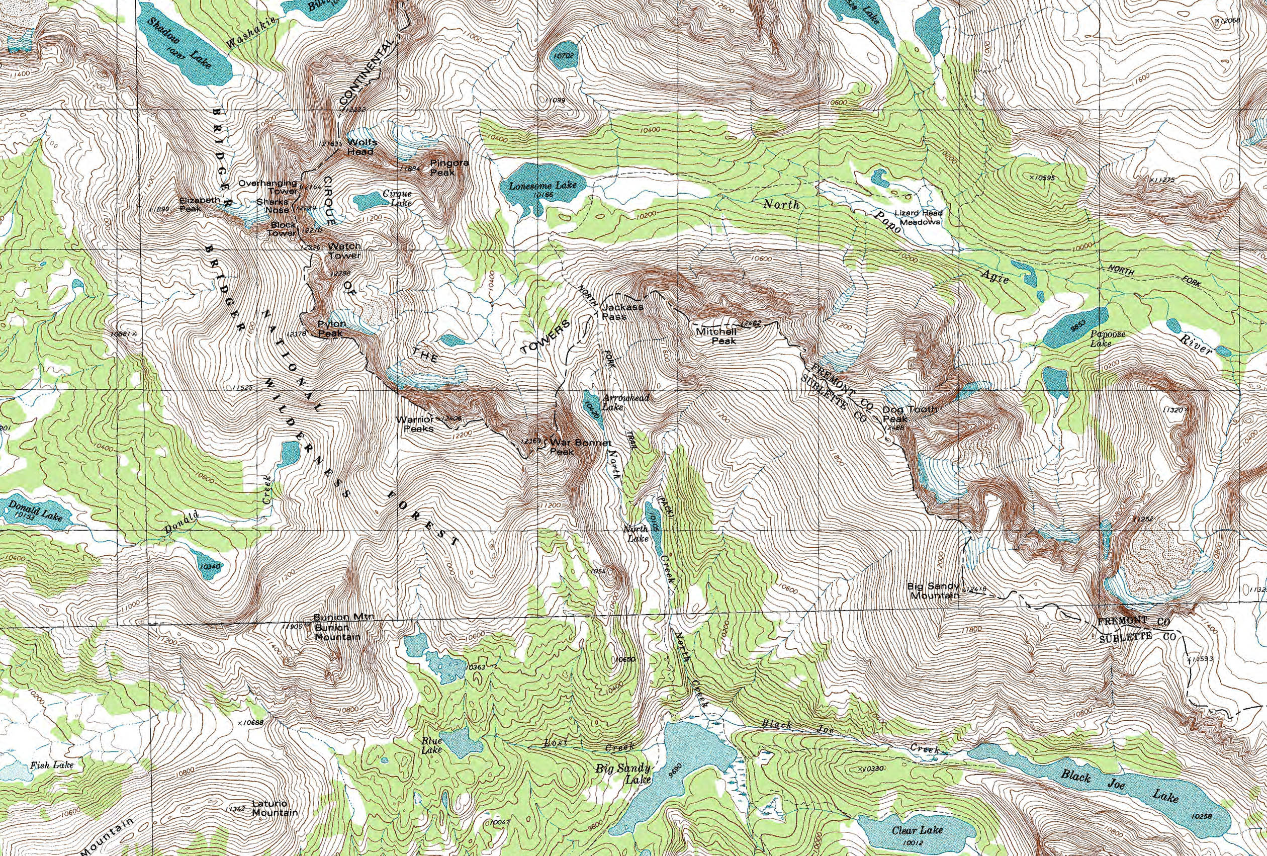
Square
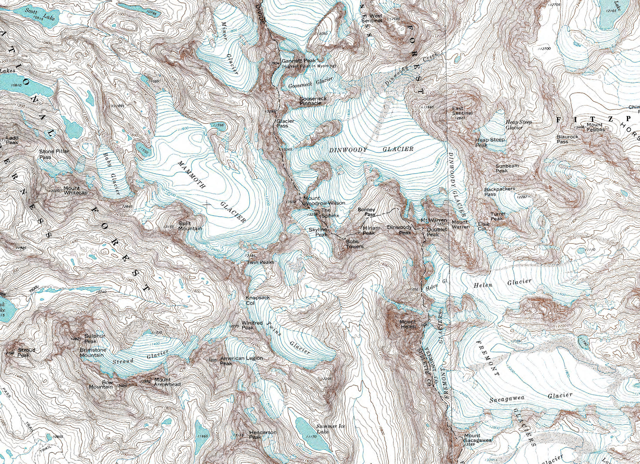
Top Mountain Topo |
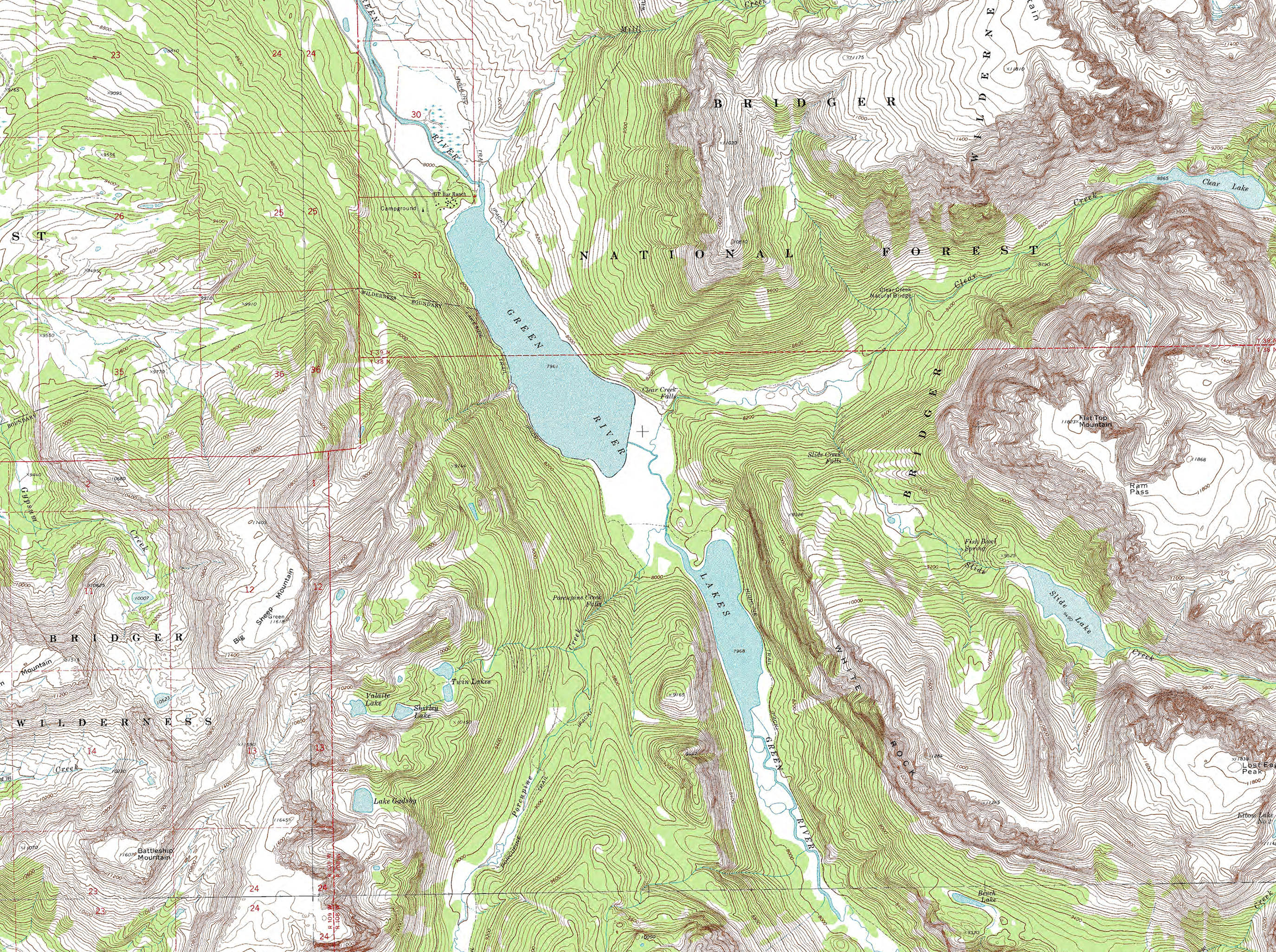
Green
River Lakes Topo |
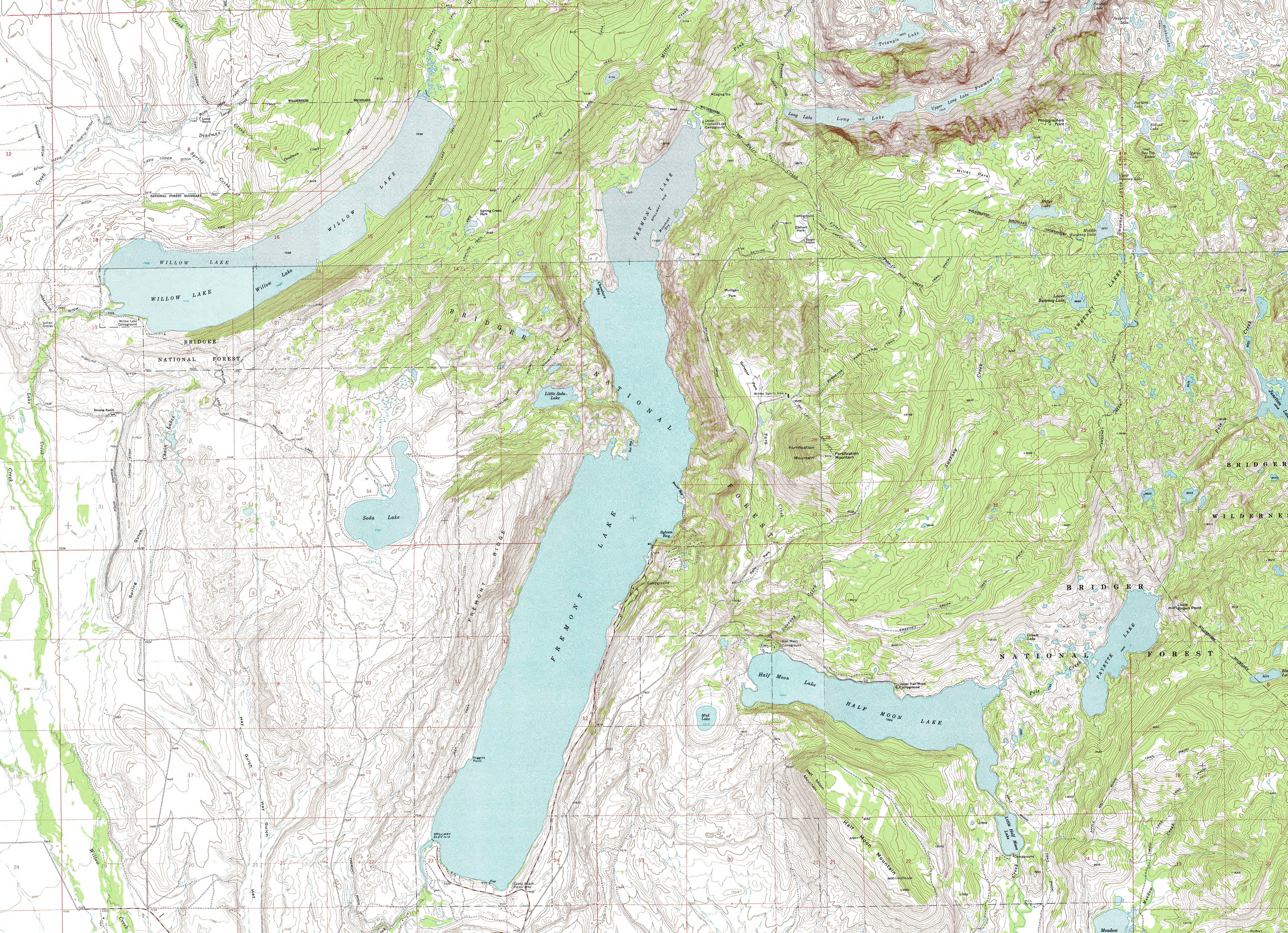
Fremont
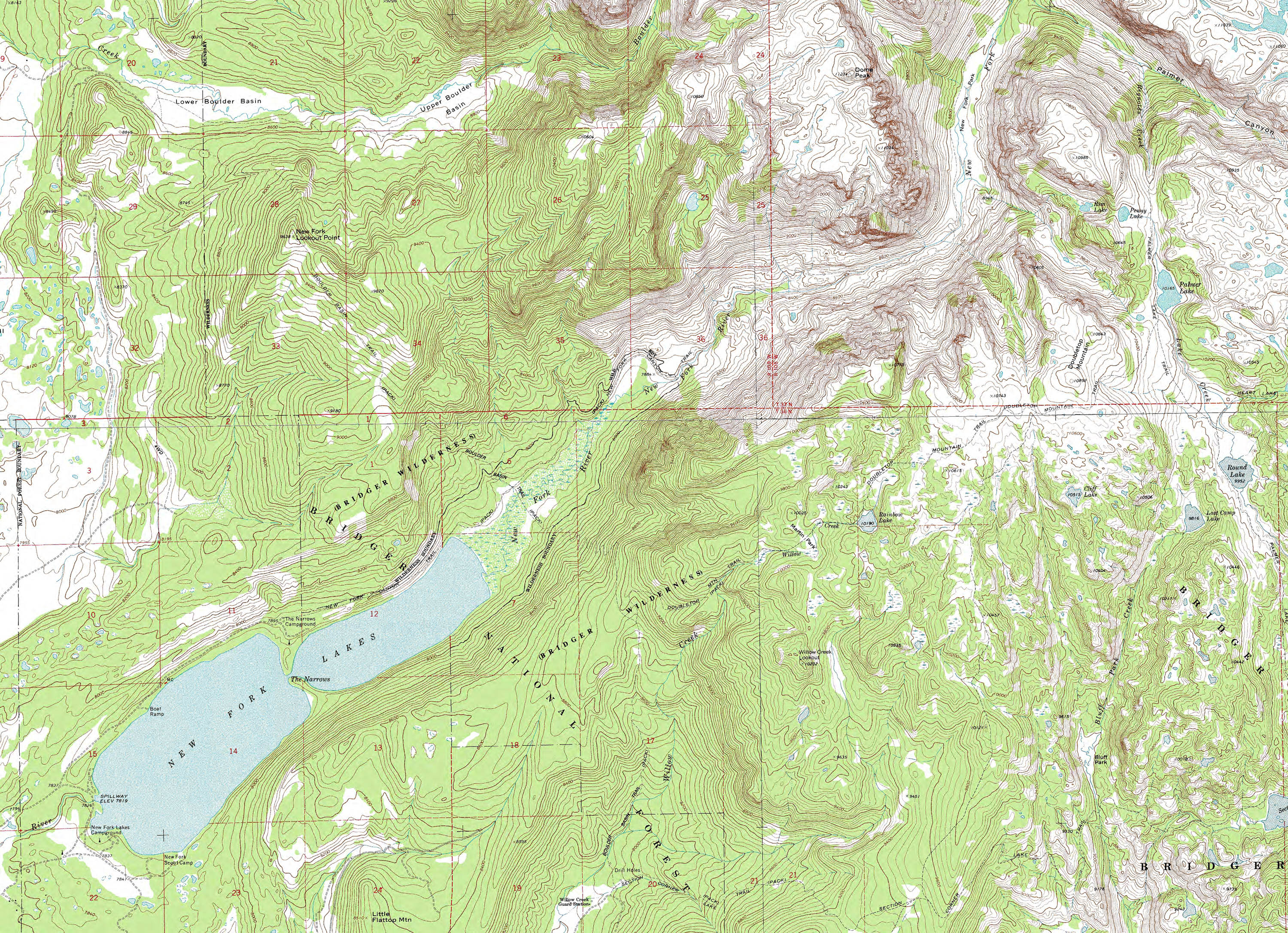
Lake Topo |
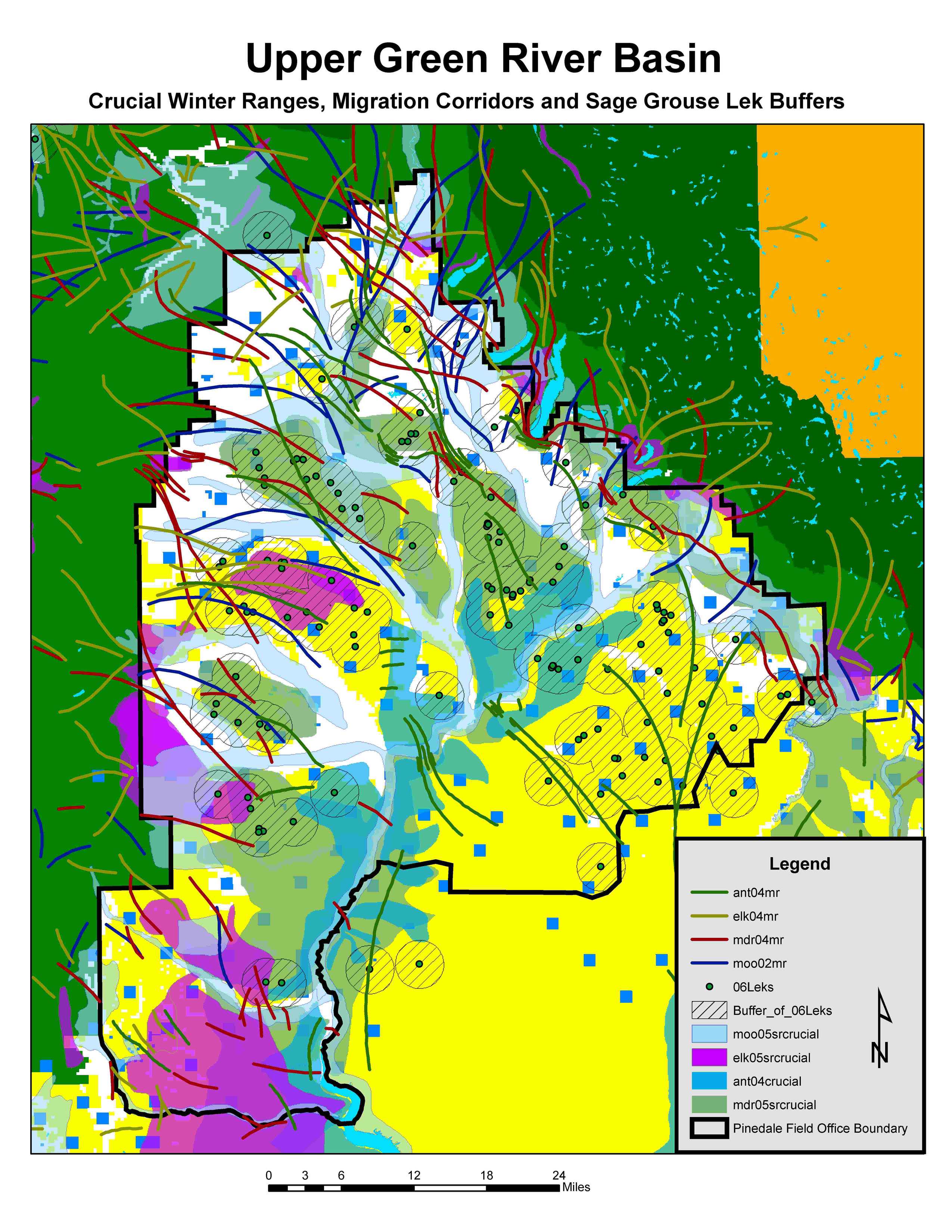
Sage
Grouse Working Group |
|
|
|
Sources
for More Maps and Info: |
Wyoming Game & Fish |
Offered by
Rendezvous Pointe Senior Center in Pinedale 2 page, 333K PDF |
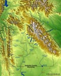
Sublette
County Relief Map |